Buchan Caves Reserve – Flood Modelling

Client
Scope
Impact
Client
Scope
Impact
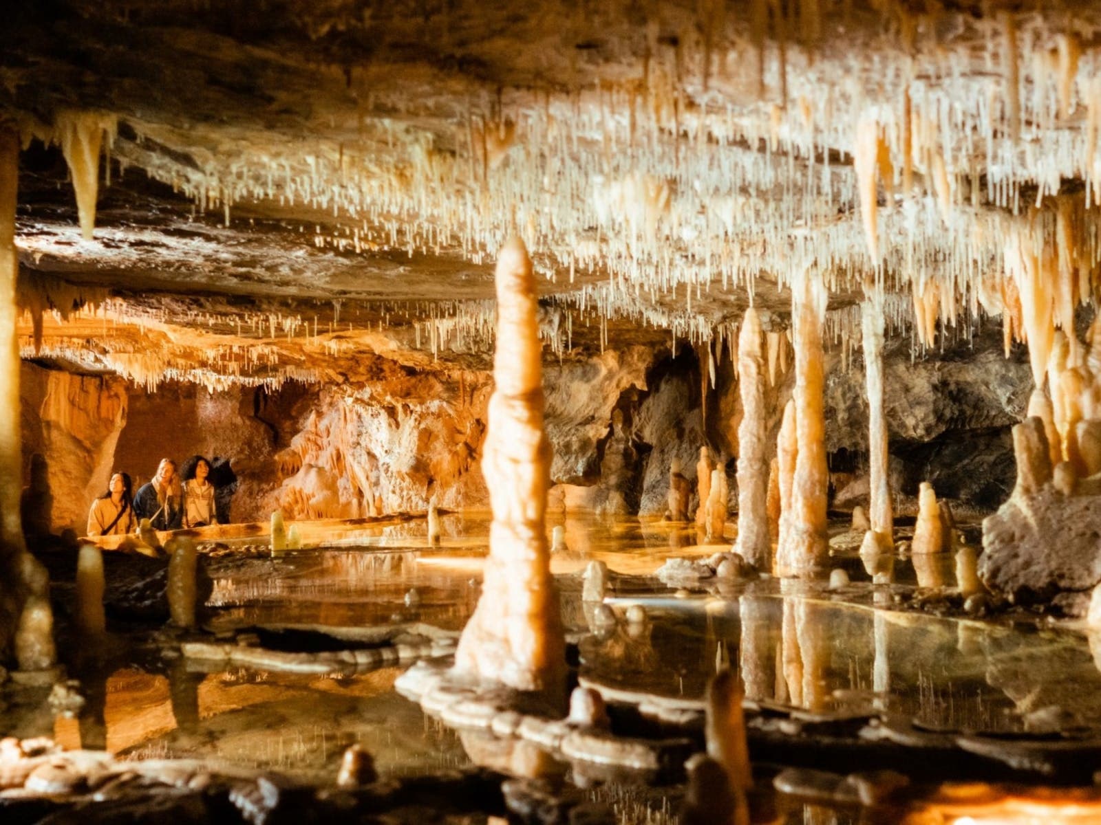
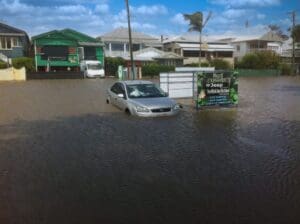
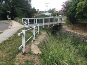
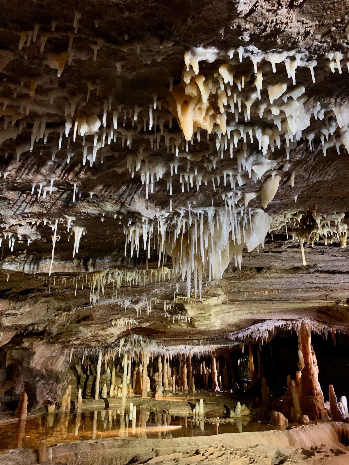
The Buchan Caves Reserve required significant restoration after the 2019/20 fires and December 2023 flash floods. WMS Engineering, engaged by Parks Victoria and Gunaikurnai Land and Waters Aboriginal Corporation (GLaWAC), completed detailed hydrology and hydraulic modelling for key watercourses within the reserve: Spring Creek, Fairy Creek, and Moon Creek (North Arm). The hydrology model, based on the Australian Rainfall and Runoff Guidelines 2019, generated design flow hydrographs for these watercourses, while the hydraulic model combined multiple data sources to accurately represent watercourse and floodplain conditions. This provided a comprehensive understanding of flood behaviour and its impact on the reserve’s infrastructure and public safety.
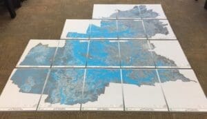
Our flood modelling process involved creating a TUFLOW 2D hydrodynamic model, which simulated flood levels, depths, and velocities across the reserve. This model considered both pre-existing site conditions and proposed infrastructure, ensuring that the design recommendations integrated both flood risk and site constraints. Key recommendations from the modelling included the construction of new buildings outside of the 1% AEP flood extent wherever possible. Alternatively, additional safety measures were implemented to elevate habitable areas above the flood level, with a recommended freeboard of 500 mm. Further, WMS advised that Parks Victoria establish an Emergency Management Plan to ensure clear evacuation procedures before, during, and after floods.
Flooding at Buchan Caves Reserve was characterised by flash floods with minimal warning, posing significant risks to park visitors. WMS recommended prohibiting camping within the 1% AEP flood extent where the hazard category exceeds H1 and marking off these areas with appropriate signage.
Want to discuss a similar project? Get a quote today.
Get a Quote
Related Projects

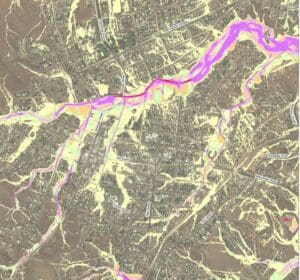
Charters Towers Retention Basin Modelling
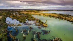
Murray Land & Water Management
Flood Impact Assessment of Crown Lands Assets